

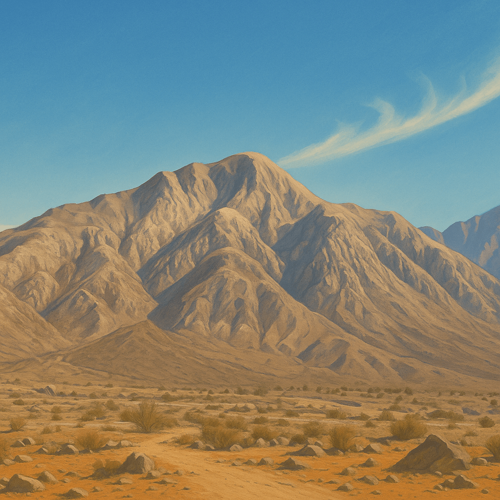
🏔️ Cerro El CentinelaThe "desert sentinel" – challenging ascent with 360° views of the valley and Laguna Salada
📍 How to Get to Cerro El Centinela
Access and Recommendations
Access via the Mexicali–Tijuana highway (free to Tecate). The hill is distinguished by its antennas at the summit. The usual entrance is through the Centinela Ecopark; verify schedules and fees upon arrival.
🗺️ Map Location
🧭 Route Details
Specifications and Terrain
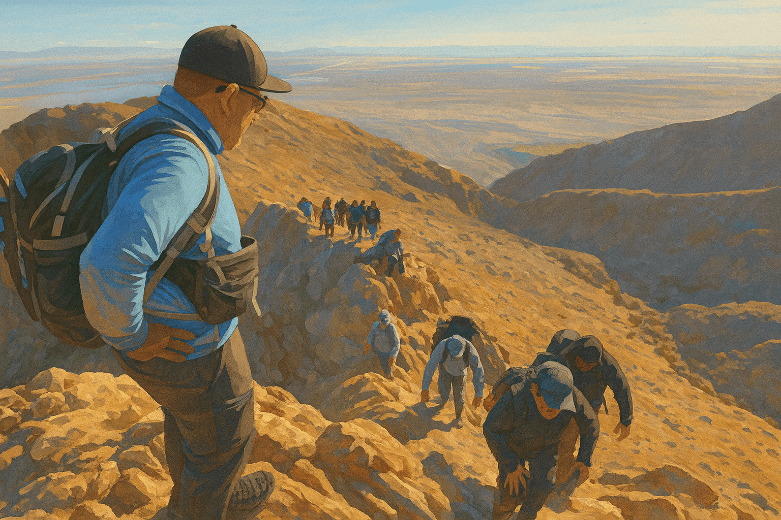
Round-trip route through rocky desert terrain. Exposed sections with steep slopes and technical passages. Recommended for intermediate/advanced levels. In summer, temperatures can exceed 40°C.
📏 Standard Measurements
🗻 Terrain and Difficulty
Viewpoints and Views
360° views of the Mexicali valley, Laguna Salada and surrounding sierra. Sunrises and sunsets are spectacular, but remember that descent with little light increases risk.
⏱️ Calculate Your Estimated Time
🎯 Plan Your Ascent
Adjust according to your level, the day's weather and your objective.
⚠️ Desert Environment Safety
Risks and prevention
Dehydration / Heat Stroke
Intense thirst, fatigue, dizziness, confusion, nausea.
Hydrate before and during (3–4 L), electrolytes, shade/rest breaks, start very early.
Exposed Terrain and Falls
Rocky zones, "death passage", steep slopes.
Firm footing, three-point support, no running on technical sections, avoid with loose ground.
Dangerous Fauna (Snakes)
Occasional rattlesnake sightings.
Don't invade bushes, watch where you step/sit, maintain distance; if bitten, call 911.
Emergency Protocols and Contacts
🚨 Contacts
📋 Basic protocol
- 1Assess condition and immediate risks
- 2Move to safe zone and shade
- 3Communicate to 911 and share location
- 4Basic first aid if you know how
- 5Wait for help, stay calm, hydrate
🏔️ Ready for the Centinela Challenge?
An iconic ascent of Mexicali. Plan well, start early and enjoy an unforgettable view of the desert.
📋 Quick checklist
Looking for something more accessible? 🥾
Cerro El Ciempiés
Officially certified circular trail of 5.3 km with 156 m elevation gain. Ideal for beginners and families, with panoramic views of the desert and valley. Parking and basic services at access.