

🏔️ Cerro El CiempiésMexicali Desert Trail - 5.3km circular route with panoramic views of the Sonoran Desert
📍 How to Get to Cerro El Ciempiés
Exact Location and Access Routes
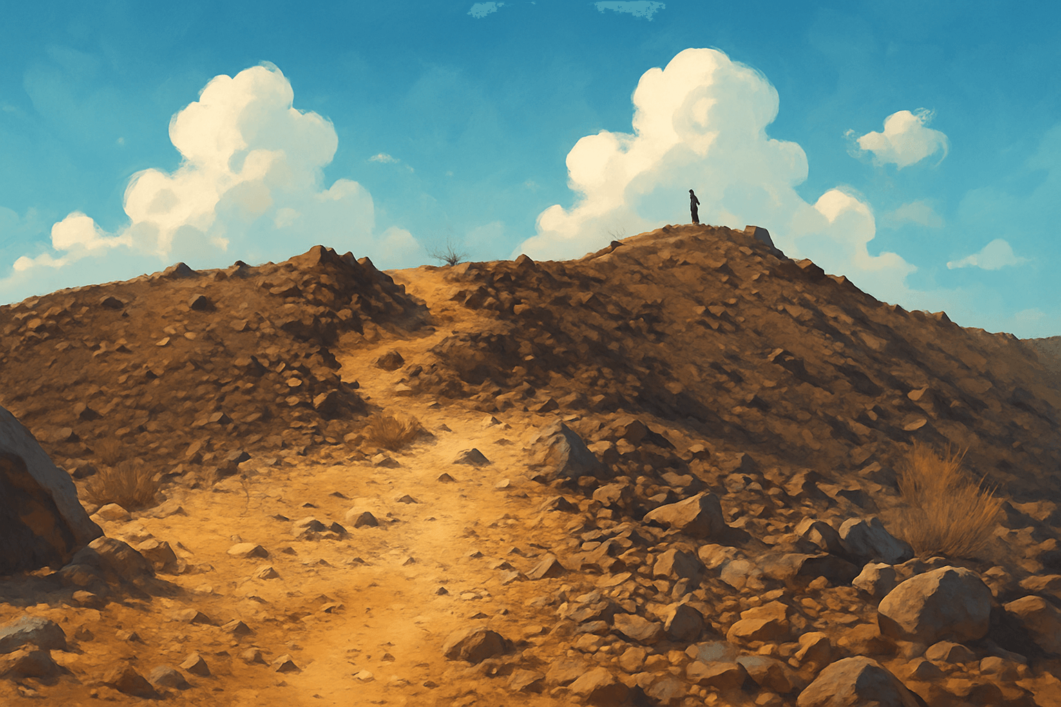
Cerro El Ciempiés is strategically located in Mexicali's desert, specifically at the foot of the free Tecate-Rumorosa highway (Mexicali-Tijuana highway), right in front of the recognizable Cerro del Centinela. This privileged location makes it the most accessible trail from downtown.
🗺️ Map Location
🏞️ Detailed Trail Description
Trail Technical Specifications
The Cerro El Ciempiés route is a perfectly designed closed circuit with a total length of 5.3 kilometers that includes a cumulative positive elevation gain of 156 meters. The characteristic terrain is rocky and desert-like, with loose stones that require attention but maintain accessibility for beginner hikers.
📏 Exact Route Measurements
🗻 Terrain Characteristics
Panoramic Views and Natural Attractions
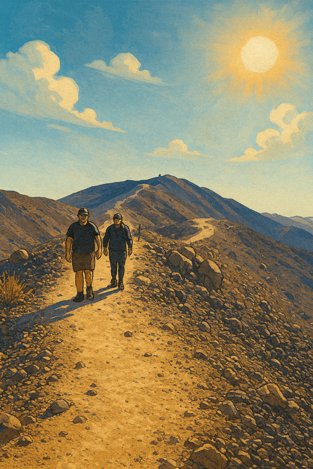
The views from Cerro El Ciempiés are truly spectacular and unique in the region, offering 360-degree panoramas that include the Mexicali valley, the mythical Laguna Salada, surrounding mountains, and the vastness of the Sonoran Desert.
⏱️ Personalized Time Calculator
🎯 Plan Your Route
Calculate estimated time based on your experience level and weather conditions.
🎒 Complete Preparation Guide
Essential and Recommended Equipment
Proper preparation is fundamental to safely enjoy Cerro El Ciempiés, especially considering the extreme desert conditions of the region. Equipment doesn't need to be professional, but it must cover the basic aspects of hydration, sun protection, and appropriate footwear.
Specialized Footwear (MANDATORY)(MANDATORY)
Hiking boots with ankle protection or sneakers with good grip. Non-slip sole for loose stones. NO: Sandals, flat shoes without grip
Hydration and Sun Protection
Mandatory water: Minimum 2 liters per person. Sunscreen factor 30+ minimum. Hat or cap for protection. Sunglasses (intense UV radiation)
Additional Recommended Equipment
Light backpack for supplies. Energy snacks (dried fruits, bars). Charged phone (emergencies and photos). Basic first aid kit (band-aids, painkillers)
Weather Conditions and Best Times
Mexicali's desert climate presents extreme conditions that vary drastically according to season and time of day. Careful planning of schedules and seasons is crucial for safety and enjoyment of the experience.
🌞 Ideal Seasons
🕐 Recommended Times
• Afternoons: 3:00-5:00 PM (good)
• Sunset: 6:00-7:30 PM (with caution)
⚠️ Desert Environment Safety Protocols
Main Risks and Prevention
The desert environment presents specific risks that require special attention and adequate preparation. Main dangers include dehydration, extreme sun exposure, falls due to irregular terrain, and getting away from the main trail.
Dehydration and Heat Stroke
Early symptoms: Intense thirst, fatigue, dizziness. Severe symptoms: Confusion, nausea, dry skin
Prevention: 2+ liters water, frequent breaks. Action: Seek shade, immediate descent
Falls and Terrain Injuries
Main risk: Loose stones on trail. Critical zones: Steep ascents and descents
Prevention: Proper footwear, constant attention. Common injuries: Sprains, minor scrapes
Disorientation and Trail Loss
Risk factor: Multiple alternative trails. If lost: Stay in place, use whistle
Prevention: Stay on main trail. Equipment: GPS on phone, inform route
Emergency Protocols and Contacts
Although Cerro El Ciempiés is relatively safe, the desert location away from immediate medical services requires knowing basic emergency protocols. There is no medical coverage on site.
🚨 Emergency Contacts
📋 Emergency Protocol
- 1Assess the situation and available resources
- 2Secure area - move to safe zone
- 3Communicate emergency - call 911
- 4First aid - only if you have training
- 5Wait for help - stay calm
🏔️ Your Desert Adventure Awaits!
Discover why Cerro El Ciempiés is Mexicali's most popular trail. Spectacular views, welcoming community, and a unique experience in the Sonoran Desert.
📋 Quick Checklist for Your Visit
Ready for a bigger challenge? ⛰️

Cerro El Centinela
The ultimate challenge for experienced hikers. Ascent of ~8.5 km with 600-700 m of positive elevation gain. Exposed rocky terrain, technical zones and 360° panoramic views of the valley, Laguna Salada and surrounding mountain ranges. Only for intermediate/advanced levels.